
Abstract
Tuberculosis (TB) in Indonesia is still a health problem. The TB prevalence in Indonesia ranks second in the world after India in 2023. Regional factors, inadequate healthcare facilities, and limited resources (financial, human, and infrastructure) are challenges requiring innovation to help the government control TB. TB eradication efforts need to be made with a comprehensive and effective approach. One method used is to look at the vast territory of Indonesia, therefore, mapping the TB disease vulnerability is a highly recommended method. The use of a Geographic Information System is expected to help map the TB vulnerability areas in Indonesia. Given the existence of several epidemiological, socio-geographic, and environmental factors influencing TB, the question arises of how to map TB vulnerability areas in Indonesia. This study used a cross-sectional design, secondary data was collected from several sources, and a vulnerability analysis was performed by considering several socio-environmental epidemiological variables. Furthermore, after the analysis, the TB area vulnerability category would be obtained along with a map of TB vulnerability areas in Indonesia according to regional and district analysis units. This study produces a TB susceptibility index and map in Indonesia for the regions of Sumatra, Java-Bali, and other regions.
References
1. World Health Organization. Global tuberculosis report 2023. Geneva: World Health Organization; 2023.
2. Wardani DWSR, Lazuardi L, Kusnanto H. Pentingnya Analisis Cluster Berbasis Spasial dalam Penanggulangan Tuberkulosis di Indonesia. Kesmas. 2013; 8 (4): 147-151 DOI: 10.21109/kesmas.v0i0.391.
3. Herawati, MH. Alternatif Penanggulangan Tuberkulosis (TBC) Wilayan Indonesia di Luar Sumatra dan Jawa-Bali. Jakarta: LIPI Press; 2021. DOI: 10.14203/press.319.
4. Fajri DL. Batas Wilayah Indonesia Secara Astronomis dan Geografis. Jakarta: Katadata; 2021.
5. Mahpudin AH, Mahkota R. Faktor Lingkungan Fisik Rumah, Respon Biologis dan Kejadian TBC Paru di Indonesia. Kesmas. 2007; 1 (4): 144-153 DOI: 10.21109/kesmas.v1i4.297.
6. Masrizal M, Diana FM, Rasyid R. Spatial Analysis of Determinants of Filariasis-Endemic Areas in West Sumatra. Kesmas. 2017; 12 (2): 79-86 DOI: 10.21109/kesmas.v0i0.1300.
7. Rejeki DSS, Nurlaela S, Octaviana D. Pemetaan dan Analisis Faktor Risiko Leptospirosis. Kesmas. 2013; 8 (4): 179-186 DOI: 10.21109/kesmas.v0i0.397.
8. Rasam ARA, Shariff NM, Dony JF. Geographical Information System and Geostatistical Modelling Approach for Spatial Risk Assesment for Tuberculosis Dynamics. TEST Eng Manag. 2020; 8 (Jan/Feb).
9. Yazdani-Charati J, Siamian H, Kazemnejad A, et al. Spatial clustering of tuberculosis incidence in the North of Iran. Glob J Health Sci. 2014; 6 (6): 288-294. DOI: 10.5539/gjhs.v6n6p288.
10. McMahon A, Mihretie A, Ahmed AA, et al. Remote sensing of environmental risk factors for malaria in different geographic contexts. Int J Health Geogr. 2021; 20: 28. DOI: 10.1186/s12942-021-00282-0.
11. Padidar M, Safavi K. Using Remote Sensing for Risk Mapping of Malaria: A Review of Remote Sensing Approach in Environment. In: 2nd Int Conf Chem Biol Environ Eng. 2010; 363-366. DOI: 10.1109/ICBEE.2010.5651020
12. Tim Kerja Tuberkulosis. Sejarah TBC di Indonesia. Jakarta: Kementerian Kesehatan Republik Indonesia; 2022.
13. Susilawati NM, Therik BA. Faktor-faktor yang mempengaruhi kejadian TB paru di Kelurahan Naibonat Kabupaten Kupang Tahun 2022. OEHONIS J Environ Health Res. 2022; 5 (1): 62-66.
14. Sugiharti T, Hasyim H, Sunarsih E. Hubungan faktor pejamu terhadap kejadian tuberkulosis paru: Literatur Review. J Ners Res Learn Nurs Sci. 2023; 7 (2): 811-815.
15. Akadji HD, Boekoesoe L, Kadir L. Analisis Determinan Kejadian Tuberkulosis: Data Wilayah Kerja Puskesmas Tilango, Kabupaten Gorontalo. Health Inf J Penelit. 2023; 15 (2): e1051.
Recommended Citation
Herawati MH , Hermawan A , Dasuki D ,
et al.
New Approach to Mapping Regional Vulnerability in Controlling Tuberculosis Disease in Indonesia.
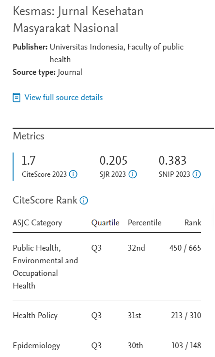
Kesmas.
2024;
19(5):
105-108
DOI: 10.21109/kesmas.v19isp1.2067
Available at:
https://scholarhub.ui.ac.id/kesmas/vol19/iss5/15
Included in
Environmental Public Health Commons, Epidemiology Commons, Health Policy Commons, Health Services Research Commons